Try oblique photos FREE FOR 30 DAYS
Sign up using the form below and get access
test if it’s what you expect.
1.3 million photos taken at an oblique angle
Photos are taken at an oblique angle to the ground.
Lower height than aerial photos
Photos are taken at a lower altitude than the normal aerial photo.
Shows detail levels of building facades and urban areas
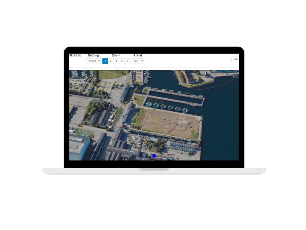
Oblique photos are typically used to present buildings. A total of 5 images are taken of each building: one from above and one oblique image in the direction of each world corner, so you can see details from all 4 world corners.
Taken from a plane or drone
Photos are taken from a plane or drone. This means that you can see the facades of buildings

Fill out the form and try oblique photos for FREE for 30 days
Unlimited access to 1.3 million photos with Viamap’s API
See buildings from above plus from all 4 corners of the world
Photos are centered and cropped, cached and returned at lightning speed
Photos cover all of Denmark and new photos are taken every two years
New photos every other year
The Danish Agency for Data Supply and Infrastructure (SDFI) publishes new photos every two years, and Viamap is using this public service.
We “wrap” 1.3 million photos in an API, making it easier and faster for you to look up a coordinate in Denmark and retrieve the best photos of a location.
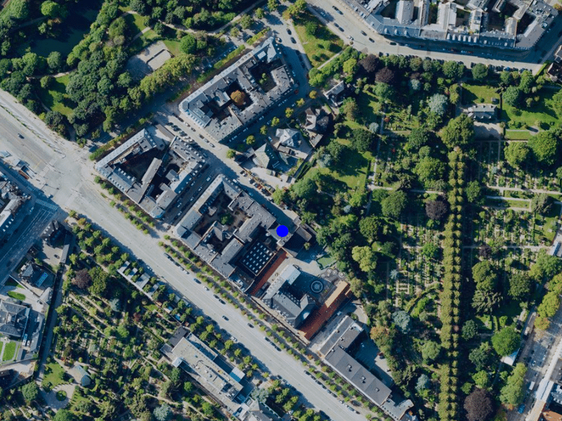
5 benefits of a Viamap solution
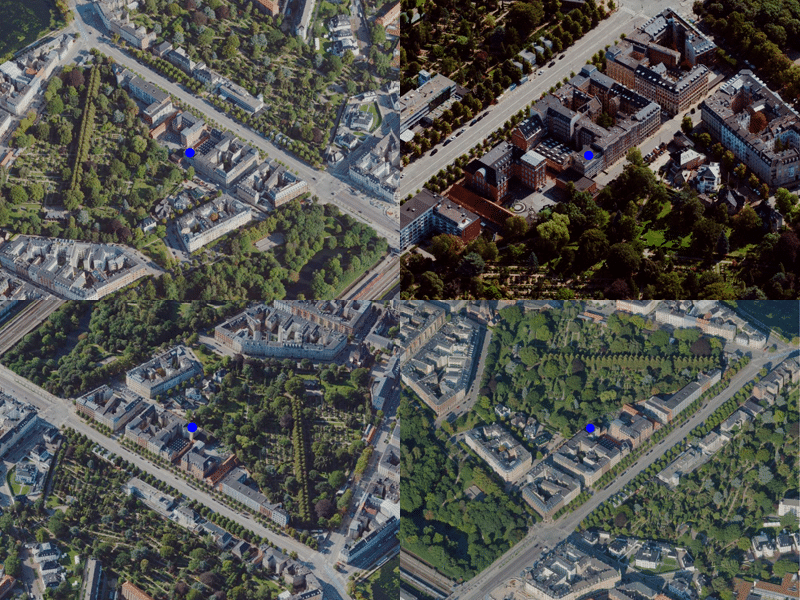
Option to select different oblique photo vintages
Zooms to the best photo of the desired location/house
Cuts the image to the desired size, centered around the poin
Once generated, the image is cached on the server and can be quickly retrieved
Choose between different zoom levels
API for oblique photos
Use this web service to streamline your workflows or to automatically integrate oblique photos directly into your web solutions.
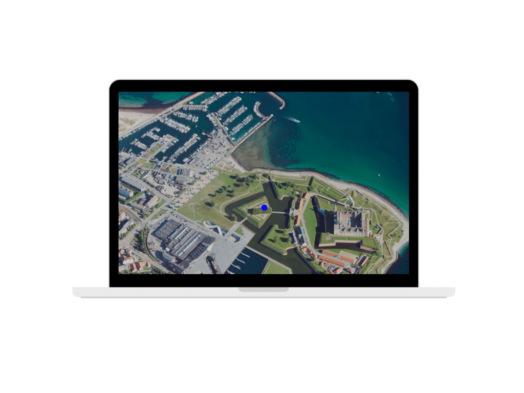
With the recent release of 2021 data from SDFI, we have developed an API interface. It provides access to data from 2021 as well as previous years
If you don't want to develop your own interface, contact us for a solution.
In 2018, the Danish Agency for Data Supply and Infrastructure (formerly Efficiency) launched a nationwide set of oblique photos. Viamap’s Oblique Photo API has been developed to make access to this database easily accessible for public agencies and businesses that have a continuous and large requirement for oblique photos.
It’s a great tool if you’re working on building projects, as you can get a good overview of buildings in an area and whether a building has a canopy, for example. Many other industries also use oblique photos, such as architects and craft companies.
Which businesses use oblique photos
Our customers include municipalities, air conditioning/solar, windows, holiday home rentals and media, real estate agents and surveyors. But it could also be useful in many other businesses.
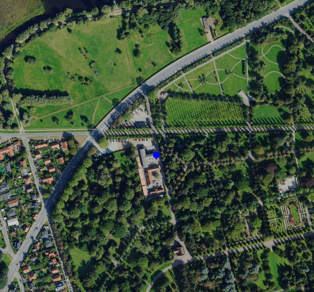
Moving company - where to park in relation to building/entrance
Construction - where to place construction sites, containers, etc.
Window cleaners - how many windows does a building have? Make the right pricing offer
Lawn mowing company - how accessible are grass areas
Emergency response - accessibility overview
About viamap oblique photos
Viamap API web service enables public institutions and companies to quickly and efficiently use photos from the Danish Agency for Data Supply and Infrastructure.
EVERYTHING COVERED
Get easy access to photos of all buildings across Denmark

ALL ANGLES
See the buildings from above + from all 4 corners of the world

SMART PROCESSING
Center and crop all photos and choose your own zoom level

HIGH RESOLUTION
Get high-resolution photos - in sizes from 1024x1024 to 3072x3072 px

QUICK CACHE
Images are cached and returned in a flash

TEST without obligation
Contact us if you have questions. Or try it for free.
